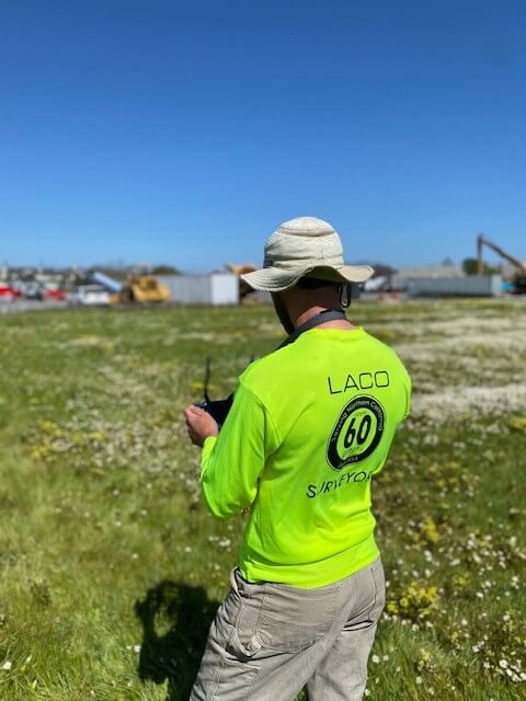
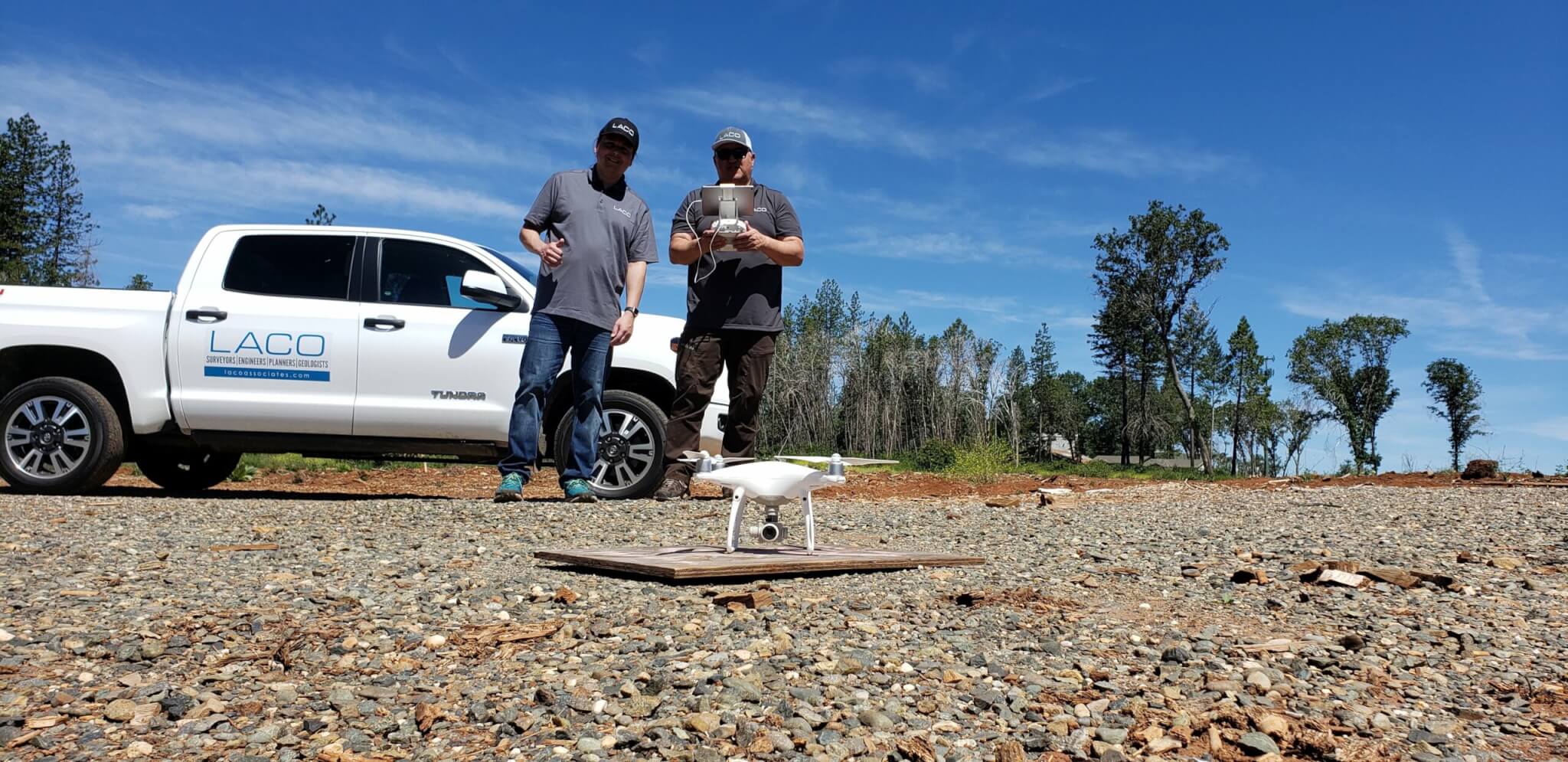
LACO’s fleet of unmanned aerial vehicles (UAVs) and licensed pilots empowers us to visually survey and assess land features, conduct surveys, and offer aerial photographic reconnaissance for a diverse array of projects, including construction management and monitoring, roadway evaluation, and topographic mapping.
- GIS Consulting
- GIS Needs Assessments
- ArcGIS Online Implementation
- Web GIS & Mapping Applications
- Interactive Web Maps
- Desktop & Mobile Application Development
- Geospatial Data Collection
- Asset Management
- Impact Analysis
- Site Selection
- GIS Modeling & Analysis
- Geodatabase Design & Creation
- Spatial Analysis & Statistics
- GIS Data Management
- Data Visualizations
- Legacy Data Conversion
- Aerial Drone Mapping
- Terrain Modeling & Analysis
- Orthomosaic Mapping
- Cartography
- Remote Sensing
- Exhibit Maps
- Land Use Mapping
- 3D Modeling
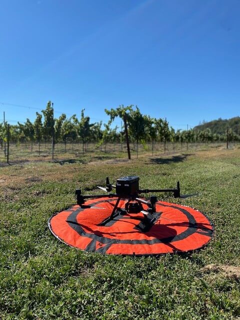
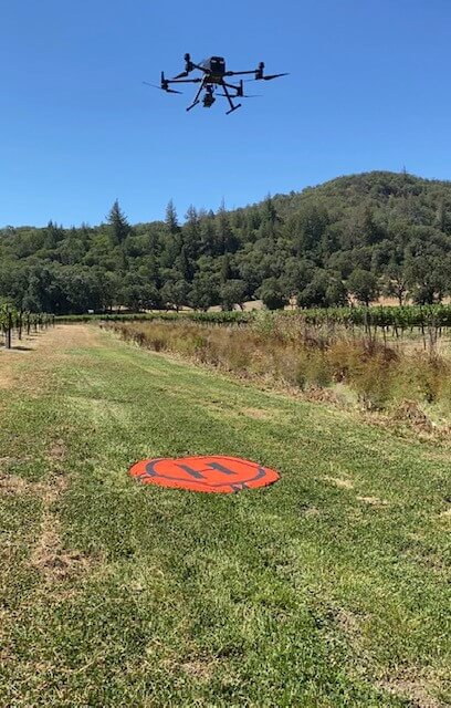
Aerial Drone Mapping: Utilizing drone surveys, we gather millions of surface elevation points with sub-centimeter accuracy, enabling us to produce topographic maps swiftly and precisely.
LiDAR Technology: Our use of LiDAR technology allows for the generation of highly accurate Digital Elevation Models (DEMs) for accessible land surfaces via drones or vehicles. DEMs are pivotal in numerous applications requiring precise knowledge of ground surface elevations, such as construction management and monitoring. Additionally, LiDAR facilitates cultural and archaeological assessments by providing a means to evaluate areas remotely, aiding in targeted investigations and optimizing field reconnaissance efforts.
This captivating timelapse in Cloverdale, CA’s tribal housing project, with LACO’s dedicated support, empowers the Dry Creek Rancheria Band of Pomo Indians in their mission for affordable housing.