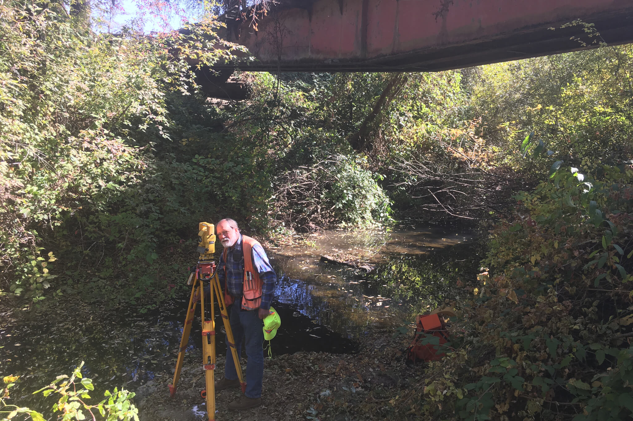
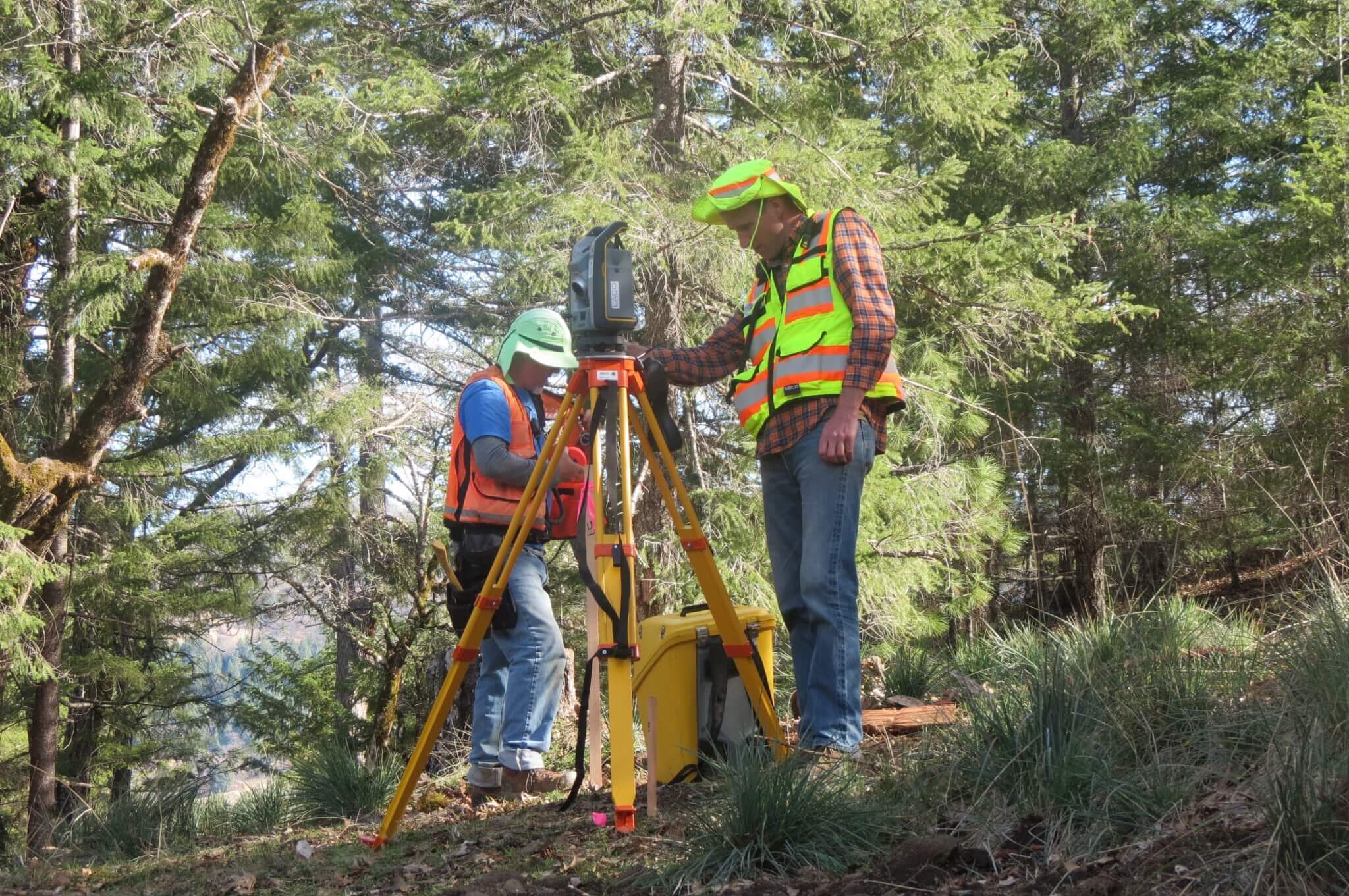
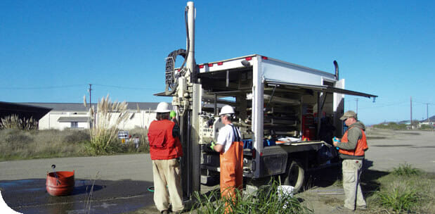
LACO’s land surveyors have considerable experience in a wide range of survey categories. We offer comprehensive land surveying services throughout Northern California, including our expanded market in the Chico, Paradise, Oroville and outlying areas. Under the direction of Land Surveying services Chad Mosier, our firm has a history of success with clients in Sonoma, Napa, Marin, Mendocino, and Humboldt Counties. We look forward to serving Butte County as we have since 1954 in the North Coast and North Bay Regions.
The firm utilizes state of art technologies enabling us to complete our assignments timely and economically. In the office, we use CAD software including AutoCAD Civil 3D and ESRI ArcMAP. In the field, our crews are equipped with GPS RTK and Static Receivers, Robotic and Mechanical Total Stations and Electronic Data Collection. Travel is with both all-terrain and four-wheel drive vehicles.
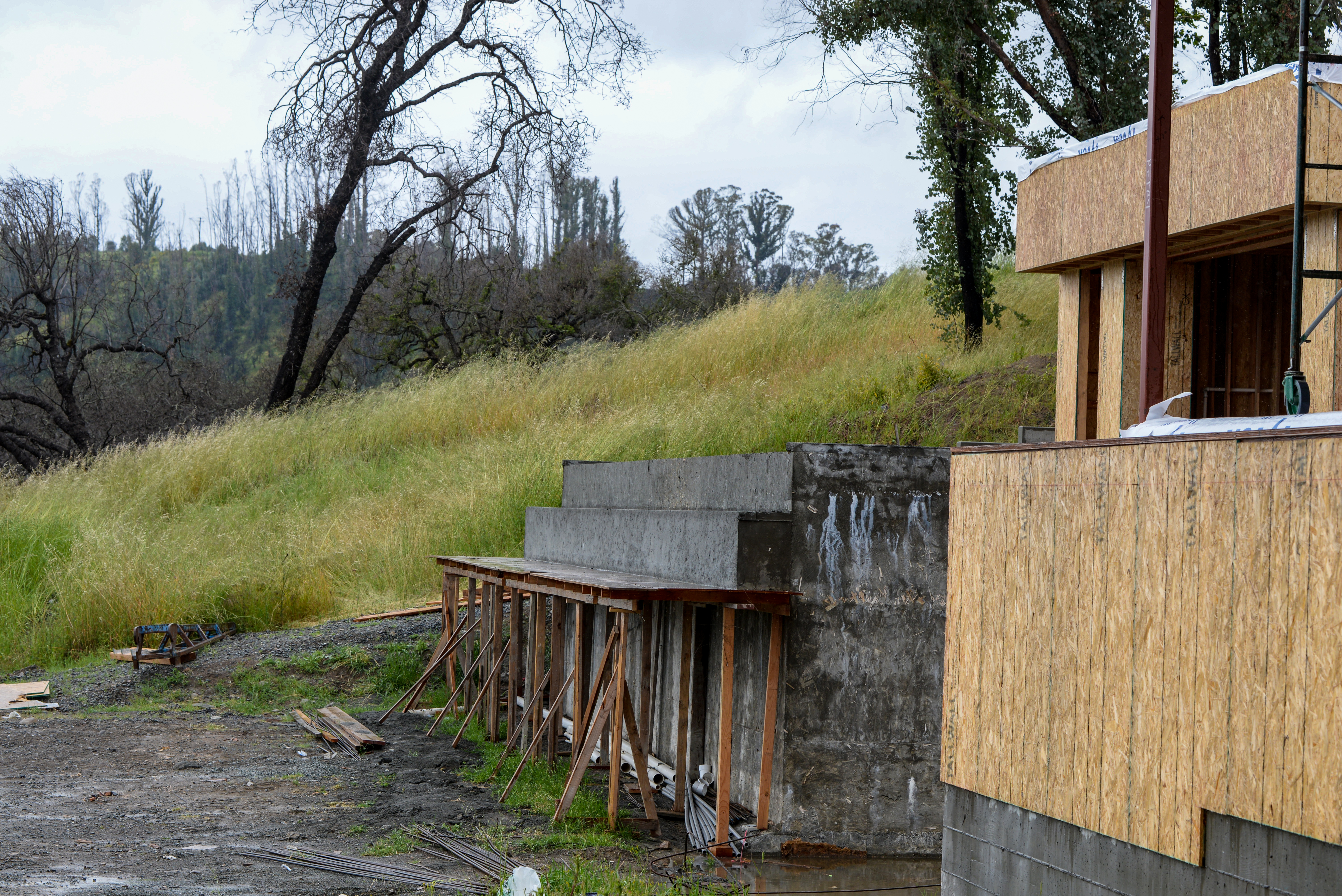
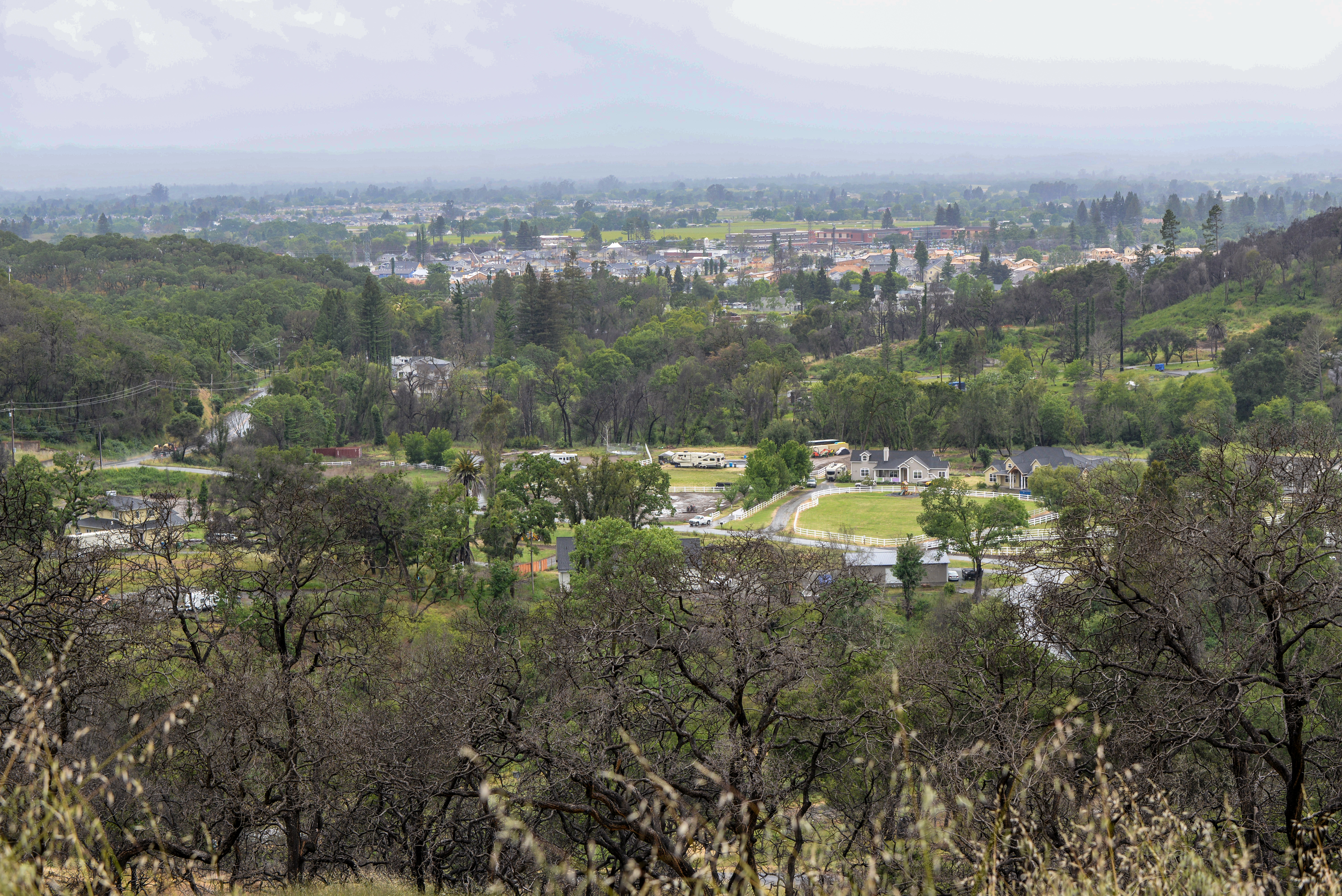
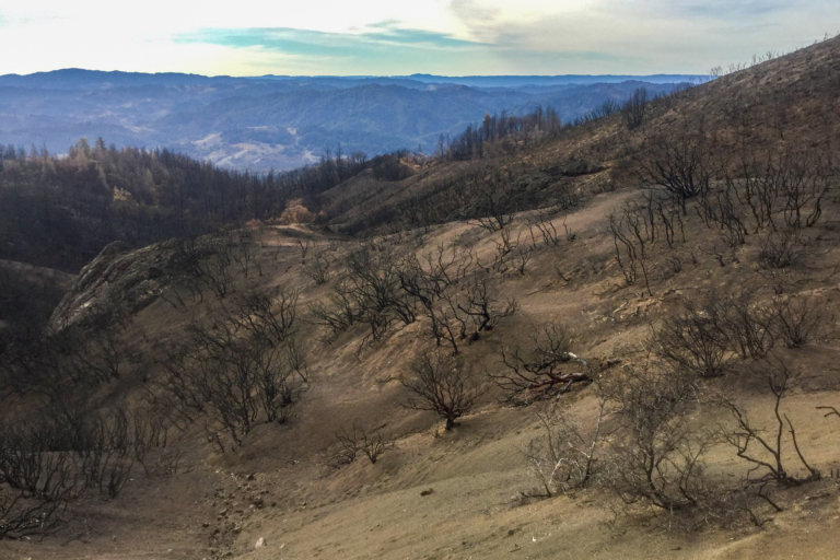
Special Note regarding Fire Recovery Services
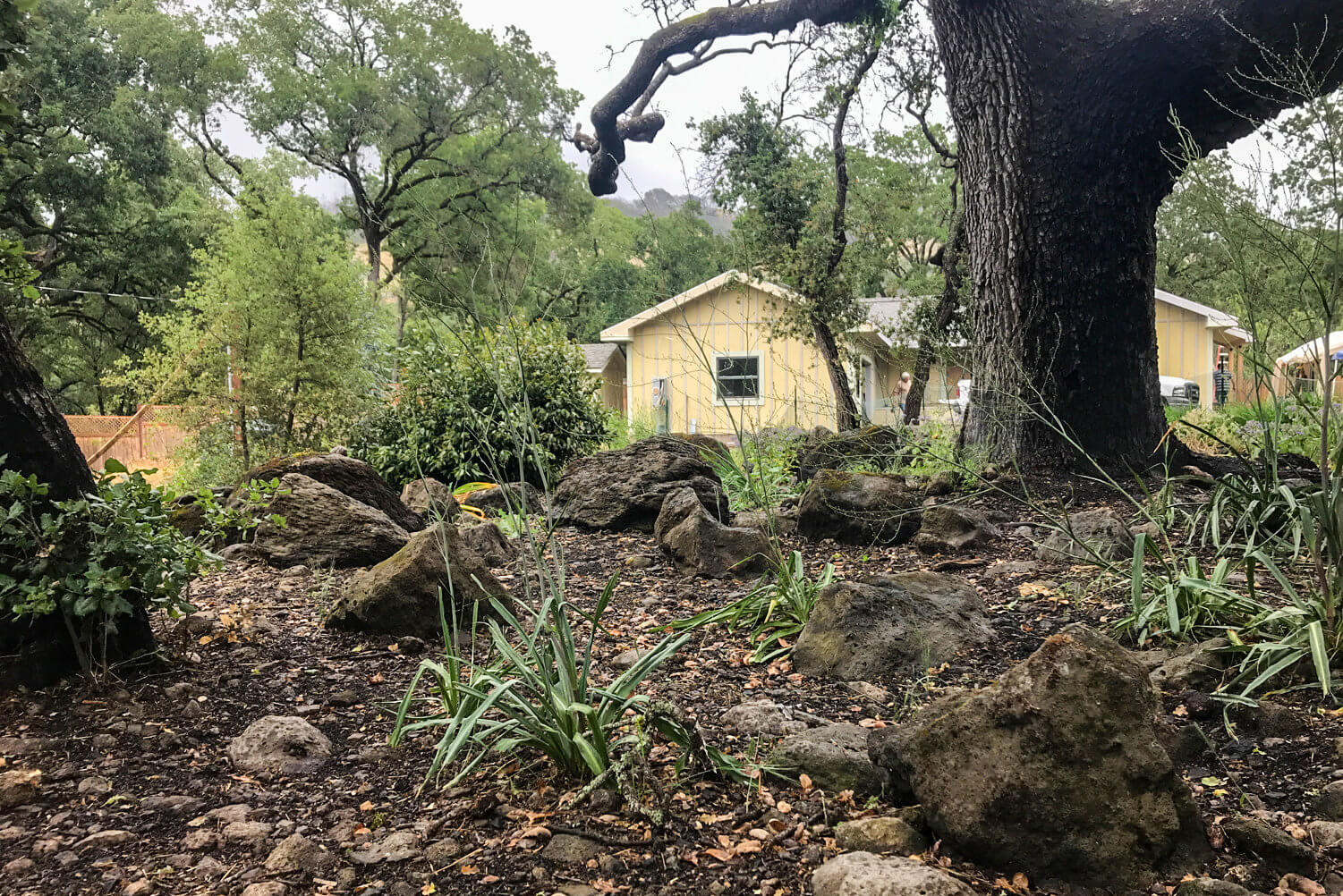
LACO’s surveying and engineering staff have been on the front lines of fire recovery and work together to offer compassionate service to residents and businesses who have suffered unimaginable losses in the Northern California wildfires. We are skilled in Architectural Site Surveys, Topographic Mapping, Boundary Line Establishment, Erosion Control Plans, Grading and Drainage Plans, Stormwater Pollution Prevention Plans, Permit Processing, and Structural Engineering.
LACO’s Land Surveying expertise includes the following professional services:
- Topographic Surveys
- Boundary Establishment Surveys
- Aerial Photogrammetry
- LiDAR
- Drone Surveys
- FEMA Elevation Certificates
- FEMA LOMA Applications
- Subdivisions
- Legal Descriptions
- ALTA/NSPS Land Title Surveys
- Construction Related Surveying
- Lot Line Adjustment
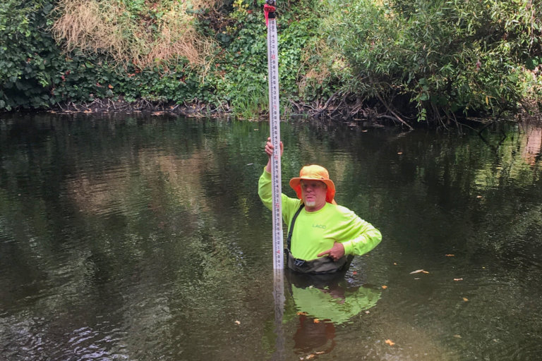
- Bathymetric Surveys
- Tribal Land Surveys
- Federal Land Surveys
- Master Plan Mapping
- On Call Support for Public Agencies