The Future of Surveying
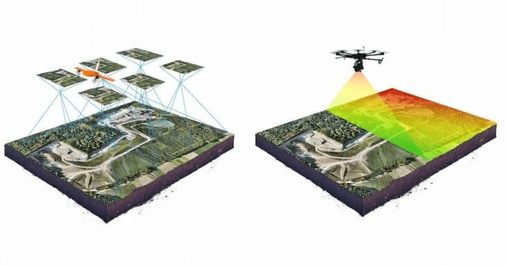
LACO’s drone LiDAR sensor and photogrammetry equipment allows us to visually observe and assess land features, conduct surveys, and provide aerial photographic reconnaissance for a wide range of projects, including geologic, archeologic, roadway evaluation, and topographic mapping.
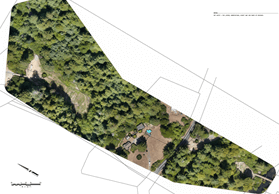
Drone surveys allows us to collect millions of surface elevation points at sub-centimeter accuracy and use these data to produce topographic maps at unparalleled speed and accuracy.
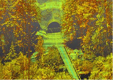
The use of LiDAR allows us to produce Digital Elevation Models (DEMs) for any land surface accessible by drone or vehicle. DEMs are widely used in applications requiring precise knowledge of ground surface elevations. We use them in groundwater elevation modeling, resource mapping, and timber harvest plans. We will use both the DEM and photogrammetric capabilities in groundwater resource evaluations to reduce the level of effort required in field reconnaissance. This allows for better use of our professional’s time by focusing field efforts more precisely. For cultural and archeological evaluations, LiDAR is useful for “seeing beneath the trees” allowing the professional to evaluate an area remotely before targeting specific areas for additional assessment.